Project Title: Afro Spatial Initiative: Promoting GIS Literacy and Environmental Awareness in North Central Nigeria
Founder & Project Lead: Benjamin Chinedu Odoh
Initiated: 2019
Project Overview
The Afro Spatial Initiative (ASI) is a nonprofit geospatial education outreach program founded by Benjamin Chinedu Odoh, aimed at addressing the critical lack of Geographic Information Systems (GIS) education in northern Nigerian tertiary institutions. The initiative is grounded in the belief that geospatial technology and environmental data literacy are powerful tools to empower the next generation of African scientists, policymakers, and environmental professionals.
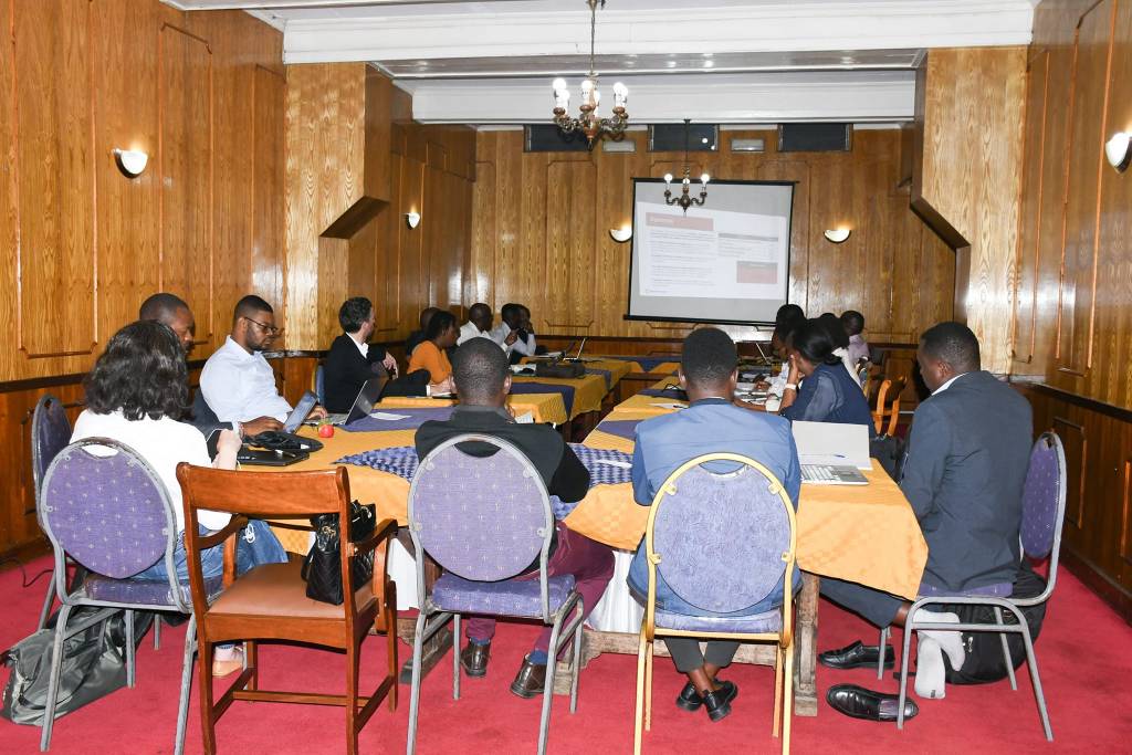
Through a series of on-campus workshops, hands-on GIS training sessions, and institutional collaborations, ASI delivers targeted educational support to universities in regions where GIS is either poorly integrated or completely absent from the academic curriculum.
Objectives of the Initiative
- To bridge the digital and educational divide in geospatial technologies across underserved Nigerian universities.
- To expose students and faculty to real-world GIS applications in environmental monitoring, disaster risk reduction, land management, and public health.
- To inspire innovation and STEM participation through spatial science tools and open-source data platforms.
- To build long-term academic capacity by introducing sustainable GIS programs and mentorship networks.
Scope and Reach
As of July 23, 2022, ASI has successfully implemented GIS training and environmental education outreach in the following institutions in Plateau State:
- University of Jos
- Plateau State University, Bokkos
- Karl-Kumm University, Vom
- Anan University, Kwall
- Plateau State Polytechnic
- Federal College of Education, Vom,
- Nasarawa State University Keffi
- Federal University Lafia
Each program reached an average of 30 to 50 students and academic staff members. Over 200 students have directly benefited from the initiative’s workshops, with dozens more engaged through mentorship and post-training support.
Originality and Significance
Afro Spatial Initiative is one of the first grassroots-led geospatial outreach programs tailored for northern Nigerian academic institutions. While GIS is widely used globally, access and awareness remain extremely limited in many Nigerian universities, particularly outside major cities.
What makes ASI an original and nationally significant contribution is its:
- Localized curriculum developed in response to institutional needs.
- Field-based demonstrations and open-source GIS tools to reduce learning barriers.
- Policy-aligned framework supporting Nigeria’s Sustainable Development Goals (SDGs), especially in climate action, education, and environmental protection.
- Scalable model for replication across other West African states.
Impact Report (2019–2022)
| Metric | Achieved |
|---|---|
| Universities Engaged | 8 |
| Total Students Trained | 200+ |
| Academic Staff Reached | 13+ |
| GIS Projects Initiated by Students | 15+ |
| Post-Training Collaborations | 6 |
| Female Participation | 34% |
Success Stories:
- Several students who attended the ASI training have initiated environmental mapping projects within their departments.
- One university has since incorporated introductory GIS courses into its geography and environmental studies curriculum.
- Local faculty have begun forming GIS research clusters, with continued support from Benjamin Odoh and his team.
Conclusion
The Afro Spatial Initiative represents a pioneering, self-driven effort to expand access to spatial technology and environmental education across underserved regions in Nigeria. Mr. Benjamin Odoh’s vision, implementation, and mentorship have had a transformative effect on student capacity, institutional innovation, and environmental resilience in Plateau State and set the stage for broader continental impact.

Leave a comment